After more excruciating back problems & signed off from work for 3 weeks, bored stuck in the house I couldn't wait to get mobile again & go for a jaunt on two wheels.
With a new van for getting around in & now lots of new opportunities to cycle different places I chucked the bike in the back of the van & head off for nearby Abbey St Bathans as near here there was a geocache that's been on my radar for some time now & is also along the Southern Upland Way long distance walking route, so I was keen to explore a new route.
So parking the van in the car park I head for the hills...
Next to the car park is the old & now un-used since 1997 Riverside sawmill which still has the saw bench in place.
The saw bench was constructed locally by a company in the town of Duns called 'T Brown & Sons' & I'm guessing that the sawmill was water driven being right next to the Whiteadder river & there is also a man made water diversion which is pretty much now hidden with weed & debris.
There's a new modern sawmill just over the road & you can smell it from here at the car park, the fruity resin smells of freshly sawn softwoods are just braw.
So after a wee read of the Southern Upland Way information panel I cycled over the causeway crossing the Whiteadder river following the route of the SUW.
Then after a couple of hundred yards along the riverbank the route crosses back over the river again.
Passing the local picturesque church & over the road to get onto some rough stuff.
The route continues to follow the Whiteadder river for a short time before heading into some woods.
It was quite nice to get into the trees of the Mountjoy Wood, lots of birdsong to be heard all around & lots of woody smells, I could even smell the musty scent of a fox.
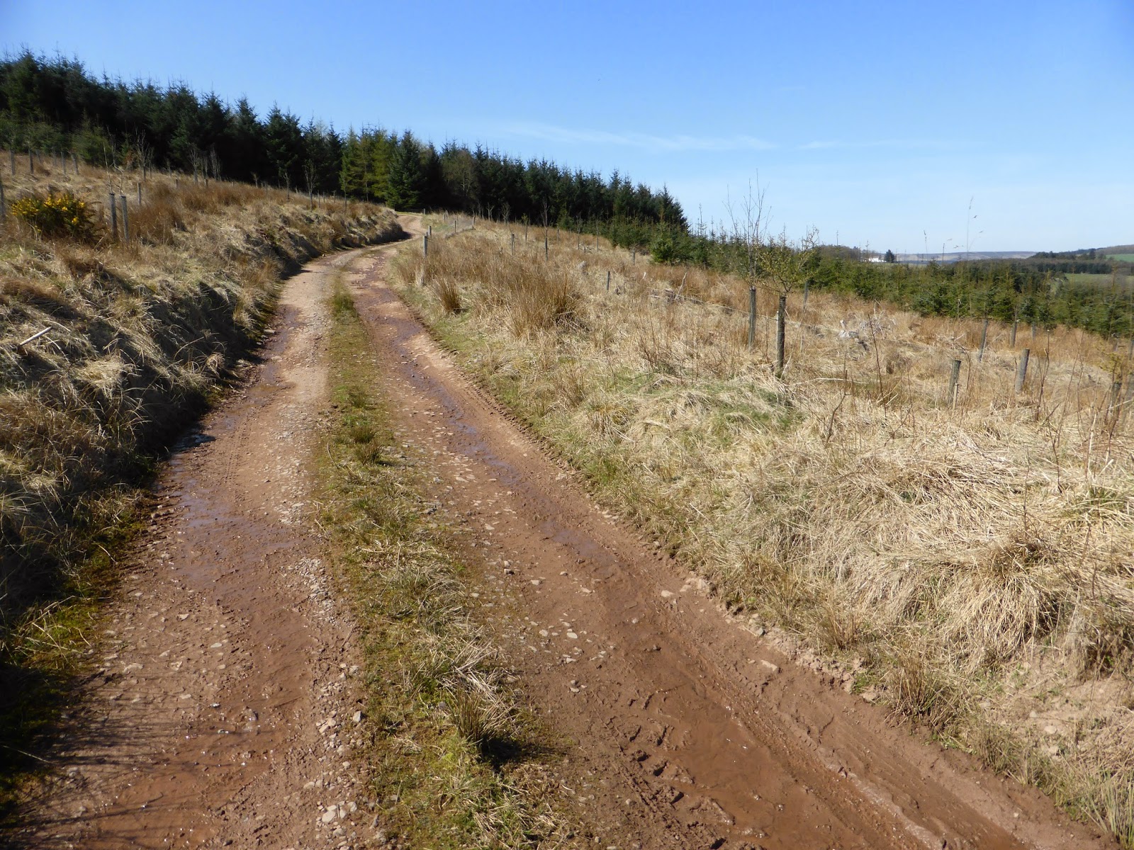
Emerging out from the wood I had a choice to go the way of Ellemford Bridge or continue along the SUW route, opting for the latter as the route takes you up & over a hill which I preferred just to get some height to soak up the terrain & views around me.
Glad there was no cows in the field I had to pass through, there wasn't many places to get away from them.
From here I could see the road cutting through the distant trees of the Lodge Wood which then goes up & over the hill above them, so a lung & leg workout was soon to be had.
Windy Windshiel a place where people have lived & worked the land for hundreds if not thousands of years. The ruins include two houses which were occupied until the 1870's & the ruins of a water powered mill which was used to grind grain & prepare sheep's wool before it went to market. The water came from a spring which still flows today. The oldest part of the buildings was a tower house, built to give the people who lived there some protection during the periods of unrest in the Border country.
Crossing a road & then the climb begins !
And then a final wee climb through a sheep field to eventually reach the top where a brown hare was there to greet me.
Fantastic views all around looking over the Cheviot & Lammermuir hills only spoilt by the Black Hill wind farm & going by the sign by the roadside a few pictures back I think the Lammermuir hills have more than enough of these horrible eyesores ruining the landscape now :-/
Here on summit of the hill is the Owl Wood where the geocache is hidden, so from here I followed the GPS co-ordinates towards it's location, foolishly straying from the trail of the SUW & ending up traipsing through a reed bog, not that, that bothers me too much but I know that reeds are a haven for ticks !
While clumping over the reeds I found a pile of pheasant eggs scattered over a radius of about six feet all robbed of their contents, probably caused by rodents or crows pecking into them.
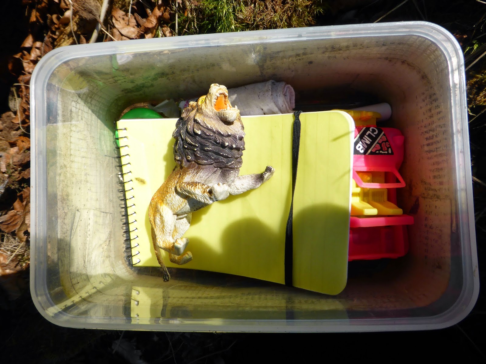
So arriving at the geocache co-ordinates & the geocache was quite an easy find. Within it's contents was a trackable geocoin that I took & when I get home will log the find on the geocaching website that I have took it & the geocoins owner will then be notified that I have it in my possesion ready to place in another geocache somewhere new for someone else to find & place it in another cache of their choice.
It's common for geocache boxes to have swappable items & trinkets within them for kids to take or swap.
It's common for geocache boxes to have swappable items & trinkets within them for kids to take or swap.
So after signing & dating the log book of my visit I replaced the cache back in it's hiding place ready for the next cacher to find.
Before turning & heading back to my second planned location of the day I had a wee hydration & food break at this scenic location basking in the warm sun & taking pictures of my surroundings.
The hill in the distance is called Dirrington Great Law & has two cairns on it's summit.
The hill in the distance is called Dirrington Great Law & has two cairns on it's summit.
If I'd paid more attention when I was near the geocache I didn't have to battle through the reed bog as the geocache position was on the route of the SUW anyway...doh !!
Spartleton hill.
Going back the way I came back to the main road but this time it was a lot more fun bombing downhill albeit slowing down taking it nice & easy when passing the sheep with their young lambs.
The bottom picture of the hill in the distance is my next location Cockburn Law which shares my name & my goal is to bag the trig point on the top.
The bottom picture of the hill in the distance is my next location Cockburn Law which shares my name & my goal is to bag the trig point on the top.
A little bit of tar-mac for a little bit before turning off onto a minor road.
Wood sorrel an edible wild plant.
Off road again climbing upwards through a unpopulated livestock field & then through a field gate into an inhabited field of sheep & lambs.
After a hard earned climb, I'm finally at the summit of Cockburn Law, an old hill fort rising to 325m (1066 feet) with visible ramparts around the hill & what's left of a cairn possibly from the bronze age.
Bagging the trig point I found a pile of rounded pebble sized stones on top of the trig painted white & all had religious messages written on them :-/ maybe some religious pilgrimage to celebrate Easter ?
Bagging the trig point I found a pile of rounded pebble sized stones on top of the trig painted white & all had religious messages written on them :-/ maybe some religious pilgrimage to celebrate Easter ?
The awesome views looking north, south, east & west.
After what would of been a high speed descent back down to the roadside I had to take a more cautious ride back down as my back was starting to give me a lot of grief...
...too much too soon I think !
Anyway I spied a group of silage bales as I rode by & wondered what it was poking up from behind them only to find a huge pile of potatoes, sheep & cattle feed no doubt.
The colours & smells of the gorse bushes were something else to see & with the warm sun also brought out loads of flying insects which no doubt are having a bounty with the gorse in full bloom.
Spot the buzzard..!
Glad to be almost back to the van as my back was in agony by this point I rode past toot corner stopping for a last couple of pictures of the hill across the Whiteadder of the skeletal oak wood which is not yet in leaf & the bright sunny yellow gorse bushes to the left of the oak wood.
Well that was my first outing in 4 weeks & it was a bit daft getting into hill climbs & rough tracks as quick as I did but with views, countryside smells & cycle routes like this how could I resist ?
Hope you enjoyed the tour, until the next time cheers for now.


No comments:
Post a Comment