Friday was a cold & bright sunny day with a light westerly wind so my plan for the day was to cycle east with the wind behind me over into the Scottish Borders to collect a geocache that Iv'e been meaning to get for a while & to explore an old track I spotted on an old map which cuts over the Penmanshiel Moor, so off I went into Border country...
Leaving the village behind & over the Tor bridge to start the day with a little bit of hill work to get the blood up to optimum temperature & with a tail wind behind me it made for a far too easy climb & not much of a work out.
Cycling by the farms of Branxton where the poor sheep were being teased with a field full of sprouts right next to there sparsely edible field, then onward passing Birnie Knowes as I drop down the hill towards Cockburnspath & into the Scottish Borders.
I don't think the sign is having the desired effect ! Disgraceful behaviour by the culprits who dump rubbish like this in lay-bys especially when there are community dumps for waste disposal FREE OF CHARGE.
Under the A1 road.
Cockburnspath Tower
The present castlt ruin dates from the late 15th-early 16th centuries.
The Tower was held by several noble Scot's families the Dunbar's, Holme's, Sinclair's & Douglases, however because of the nature of the families particularly the Dunbar's & Douglases it is difficult to say who owned the castle legally at certain times because they stole castles & lands from one another on a regular basis. And despite the intervention of the King of Scot's to settle these family feuds, they still continued to squabble for centuries while also finding time to fight the Auld Enemy (English) at home & in France.
Some of the buildings around the main Tower some with evident vaulted ceilings although mainly collapsed.
An old fire place chimney lum.
An old WWII air raid shelter which I was told by a work colleague from Cockburnspath was used by the field workers around the Cockburnspath area when the Luftwaffe were flying over the area.
The ravine the castle protected with the Heriot burn running through it & the towering A1 bridge above.
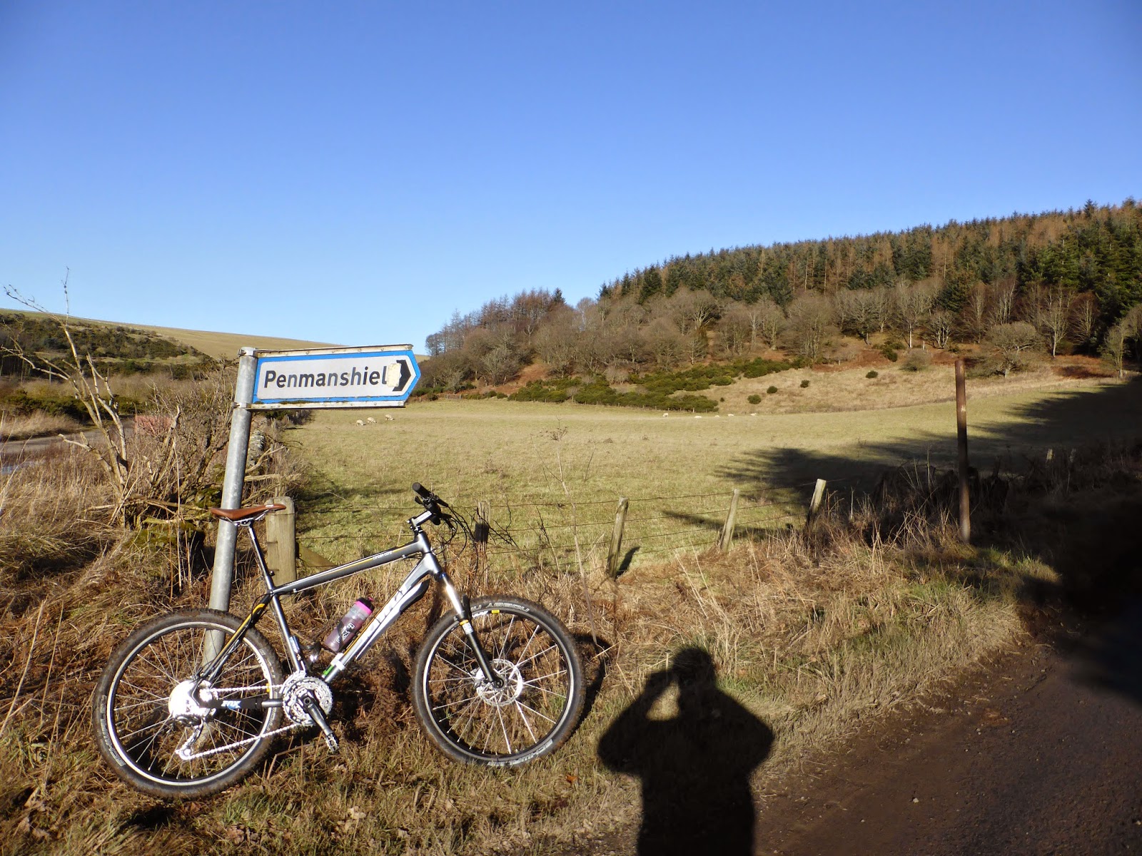
Pnmanshiel woods where I'll soon be in the middle of.
Pease bridge
Designed by David Henderson, built in 1786 & measures 300ft long X 16ft wide X 130ft high & at the time of it's construction was the highest bridge in the world.
From the bridge I joined onto the Southern Upland Way footpath but only for a short while as I normally follow the route way marker up hill to the left but today I took the lower right path. It was nice to be in the cover of the trees & out of the wind chill.
Lots of clumps dotted about here & there of the little snow drop flowers a sign of spring ??
Penmanshiel cottage derelict within the woods I suppose down to the re-routing of the A1 road & east coast main rail line. Described by the same work colleague as auld Nelly's hoose it seems such a shame that it's now a ruin, I'd be in my element living here.
Exploring around the vicinity of the ruined house there wasn't much left but I came across these old Castrol GTX oil cans & it's been a long long time since I've saw oil cans like these & I was surprised as other than flaking paint on the outside they were in good condition.
Foraging around a little further I found this stone building with a small burn flowing through & joining into the Pease burn, it's very well constructed & I think going by maps that it's just a burn coming down from the hill, it may have been built by the forestry commission to make there work easier when moving heavy plant about but I'm just guessing as the stone work does appear old :-/
Along the eerie pathway with the skeletal trees looming above I was in hawk eye mode looking for evidence of an old WWII bunker. I had no idea that it existed but while googling information about the area I came across it & found that it had already been conquered by fellow local biking bloggers 'Coastkid' & 'Ped's Outdoor Diary', failing in my quest to find it I moved on & will need to come back another day & try again.
East coast main line north & south bound.
The old A1 south bound & almost swallowed up by nature.
Cycling within the safety of the crash barriers I hated this short section to get to where I was making for at Penmanshiel, it goes against the grain for me cycling so close to busy road traffic & the dangers it possesses but it was my only choice to cross the railway. It's amazing how the old diverted A1 is almost gone with mother nature slowly taking back what's hers. These views are looking north bound.
The reason that both the A1 road & railway were diverted are because of an accident that occurred on the 17th March 1979, upgrading work which was being carried out to increase the internal dimensions of the railway tunnel to accommodate larger rolling stock.
During this work part of the tunnel collapsed where 15 people were inside at the time as well as 5 items of plant, only 13 people emerged after the collapse with rockfall debris filling 30 metres of the tunnel from floor to the roof, totally enveloping a dumper truck & a JCB, unfortunately & sadly the 2 people not to escape were the two plant operators of the dumper truck & JCB.
After the collapse it was the intention of British Rail to re-open the tunnel by removing the collapsed rockfall material & repairing the structure but once the extent of the damage became apparent it was decided that it would be too difficult & dangerous, so therefore a decision was made to replace & divert the rail line with a new section west of the original track.
The bodies were never recovered & will forever be entombed within the tunnel, both of the tunnel portals were sealed to prevent unauthorised access.
The pictures above are of the old A1 north bound bridge over the old rail line as it enters the tunnel, now overgrown with little evidence that the tunnel ever existed.
An image of how the road & rail once went before the accident.
Doubling back I cycled up hill towards a monument dedicated to the two men who died inside the tunnel.
The story of the accident is something that I remember well growing up & I did not know that there was a monument honouring the two workmen, it was down to geocaching that I learned of it's existence, often geocache locations are tastefully placed near monuments & I'm glad that they are otherwise many of these places would be unknown to so many & it keeps their memory alive.
So logging the geocache, having a bite to eat & something to drink I head up hill to Penmanshiel farm to the track I spotted on an old map.
As I climbed higher up the hill I was reminded that it was still windy as it was blowing quite strong through the trees above.
So many old farm cottages going to waste these four here were located with stunning views over the hills looking east.
Here I got a message from my work mate telling me where the WWII bunker was, but I was too far past it & decided to find it another day !
Passing through Penmanshiel farm & levelling out on the high ground of Penmanshiel Moor there were amazing views looking back homewards, with a freezing icy side wind although the views were braw I was fair keen to keep moving to keep warm & get off the top of this hill as soon as possible, there will be warmer days to spend time admiring the views.
No matter where you go around here there are wind turbines popping up everywhere, these ones are part of the Coldingham Moor collection & I dare say that there will be many more planned for here in the near future !!!
From the safety of the farm track it was time to enter the realm of the farm beasts, that being cattle & sheep so scanning around all I could see were sheep so it was good to go & I made my way along the track.
The terrain was tough to say the least very soft wet ground with a strong head wind high up here on the hill, I noticed that on the other side of the fence that some gorse bushes had recently been thinned back so I took a gamble & louped over the fence thinking that with all that gorse the ground would not be so water logged & it was the right decision although it was a bit rougher to ride over with the exposed roots.
A natural marsh pond busy with whooper swans & other birds feeding in the areas that weren't frozen over.
Going by the thick gorse bushes it appears that this is not a well used path, battling through it I was half expecting to startle some cows on the other side, but luck was on my side & it was just more sheep.
The perfect hill for sledging !
The end of the Laird's Road for me today & I will need to do more exploring & research as it started back at the village of Grantshouse a bit further back & on a slightly different route from where I started at Penmanshiel where there was no sign like the one above or I would of tried to find the cairns & Greenside well, never mind it's ammunition for another day.
Onto the moors road with amazing views along the coast & albeit that I was going down hill I had to keep the pedals turning with the wind blowing at me head on so there was no free wheeling.
Almost at sea level down here at Pease Bay caravan park & a surfing mecca for these parts.
More coastal views looking east & west.
Away from the coast heading inland & under the A1 road bridge & rail viaduct.
I was keen to get back home by this point, the icy strengthening wind was making the lungs burn as I was head on into the wind for pretty much the the Laird's road track a good 7 - 10 mile back.
I love this wee rat run from Branxton to Blackcastle farm, keeps me off the roads that little bit longer.
Almost home & back onto the tarmacadam passing what I call electric avenue as there are big substations from Torness power station diverting electricity along the pylons east & west.
The home stretch back into Innerwick & another enjoyable day out & about on the bike.
Thanks for reading I hope you enjoyed
cheers for now.