I love making up routes to cycle, enjoying a purpose or mission for my day's cycle which is one of the reasons why I got into geocaching as it gives you a destination to reach for a mission, not only that but it takes you to new & interesting places from historic landmarks, places of historical interest, to lofty elevated hills with great views.
Which got me thinking last week when I went to the Doon Hill trig point, I thought about all the trig points that I've came across along my travels & wondered if there were any trig point bagging websites just like the bagging of the Scottish munros. So after a bit of Googling I found a website for trig point bagging, a site to register all the trig points that you've visited. I joined the website & planned my route.
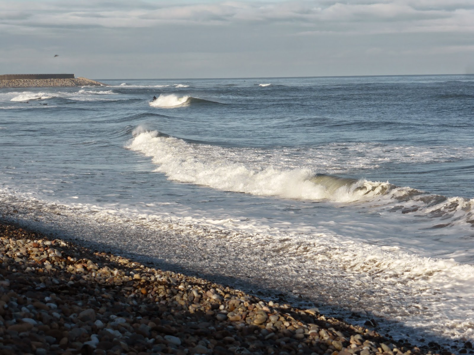
So leaving Innerwick to the sound of honking geese up high above I set off on my travels for my mission of the day...


 Just outside the village are these two braw horses & one was very pleased to see me !!


 Cycling along the greasy damp road passing the ruins of Innerwick castle, over the Tor bridge & up hill towards Blackcastle farm. I hate this section of road as it's a fast bend & with the roads all greasy with the dampness & fallen leaves, cars could quite easily lose control as they bomb down the hill & around the bend.


 Glad to be off the road & onto the farm tracks of Blackcastle farm with a big long & slow climb ahead of me.


 The ground was absolutely sodden after all the recent heavy rain which made for a real hard cycle, but with all that rainfall brings plenty of field mushrooms scattered all over the fields.
With gritted teeth it was onwards & upwards stopping for the odd hydration top up & of coarse lots of photos.
 A little yellow hammer bird which are more common along the hedgerows, every time I see them I try to quickly take their photo but as soon as I get focused in on them they fly off ! So it was a nice change to be able to take a shot.

 Half way there now to the summit of Blackcastle Hill & the higher I climbed the wind was getting stronger, but I was determined to cycle the whole way & not give in to putting the bike over the shoulders & hiking.


 The local town of Dunbar, LaFarge cement works & Torness power station way down below.


 A wee breather to take some more pictures of the scenery & mushrooms which I welcomed, as the climb was starting to burn my lungs & legs fighting the strong cross winds & sponge like grassy surface.

 Passing the last sign post to the Roman camp which admittedly I have never ventured to, but from what I can see on maps & satellite images there's nothing to see anyway, but one day I will need to go for a proper look as what's the point in having sign posts to nothing to be seen ?
Iv'e also tried to find some history & information on this camp but so far have drawn a blank on it...
...for now !

 Finally at the summit & today the views looked really artistic with the soft rolling farmed hills with dark & light green shades & shadows due to the low sun.


 The wind was really howling up here & it was very exposed with no where to hide, so it was time to get over to the trig point & get down off the hill.
While I was taking the photo over the cattle grid I noticed these delicious looking mushrooms growing from an old fence post that was lying under the cattle grid, I've no idea what kind they were but for some reason they reminded me of something sweet & sugary.

 There's the trig, over we go with the wind on by back for a change.


 Cocklaw Hill trig point bagged !
A Triangulation Point or 'trig point' for short are used for accurate measurements by the Ordnance Survey, mounting a theodolite on the top of the pillar to measure accurate angles between pairs of nearby trig points hence the name 'triangulation'.
The Bench Mark plate on the side of the pillars were used to measure the height above sea level.
It's a funny hill this as the northern side of the hill is called Blackcastle Hill & the southern side is called Cocklaw Hill.


 The picture below the field mushroom photo is my next trig point location of the day on Ewieside Hill.
Deciding to traverse along the hillside like a yacht rather than fighting head on into the wind to get back on the road to join up with the transmitter tower road.


 Down off the hill & out of the wind which was a good fast blast downwards passing by the hill farms of Cocklaw & Stottencleugh to the valley below which was nice & calm with no gusty wind at all but note how saturated the ground is after the heavy rain.

 Crossing the Oldhamstocks burn & passing the village church through the quiet village of Oldhamstocks not passing a single soul on my way.

 Over the hedge Ewieside hill up ahead with a steep & daunting climb up the farm track to the top.
I was really looking forward to this hill to see the remnants of an Iron Age Hill Fort.


 And up we go, a hard climb which soon tapers off to a more gentle gradient.


Which got me thinking last week when I went to the Doon Hill trig point, I thought about all the trig points that I've came across along my travels & wondered if there were any trig point bagging websites just like the bagging of the Scottish munros. So after a bit of Googling I found a website for trig point bagging, a site to register all the trig points that you've visited. I joined the website & planned my route.
So leaving Innerwick to the sound of honking geese up high above I set off on my travels for my mission of the day...
With gritted teeth it was onwards & upwards stopping for the odd hydration top up & of coarse lots of photos.
Iv'e also tried to find some history & information on this camp but so far have drawn a blank on it...
...for now !
While I was taking the photo over the cattle grid I noticed these delicious looking mushrooms growing from an old fence post that was lying under the cattle grid, I've no idea what kind they were but for some reason they reminded me of something sweet & sugary.
A Triangulation Point or 'trig point' for short are used for accurate measurements by the Ordnance Survey, mounting a theodolite on the top of the pillar to measure accurate angles between pairs of nearby trig points hence the name 'triangulation'.
The Bench Mark plate on the side of the pillars were used to measure the height above sea level.
It's a funny hill this as the northern side of the hill is called Blackcastle Hill & the southern side is called Cocklaw Hill.
Deciding to traverse along the hillside like a yacht rather than fighting head on into the wind to get back on the road to join up with the transmitter tower road.
I was really looking forward to this hill to see the remnants of an Iron Age Hill Fort.


The black fossil is clearly a limb from some sort of tree as it splits off into different limbs, visibly going from one into two branches but not so clear as it splits further still into more thinner branches. The fossil is now in the form of coal.


Thanks for visiting & I hope you enjoyed the post 'A Sair Fecht' Scottish slang for a 'sore fight' which today my legs & lungs felt the pain cycling up the spongy grass hills & sticky muddy paths but enjoyable all the same.