


Leaving the village behind I cycled up the road towards Woodhall but half way there I decided to climb up over a field track to get a couple of high up photos of where I'm heading for, then it was over the hill down onto the Elmscleugh road.


Elmscleugh geese making lots of noise when I stopped to grab a picture of the old signpost & the springtime flowers, snowdrops & aconites.


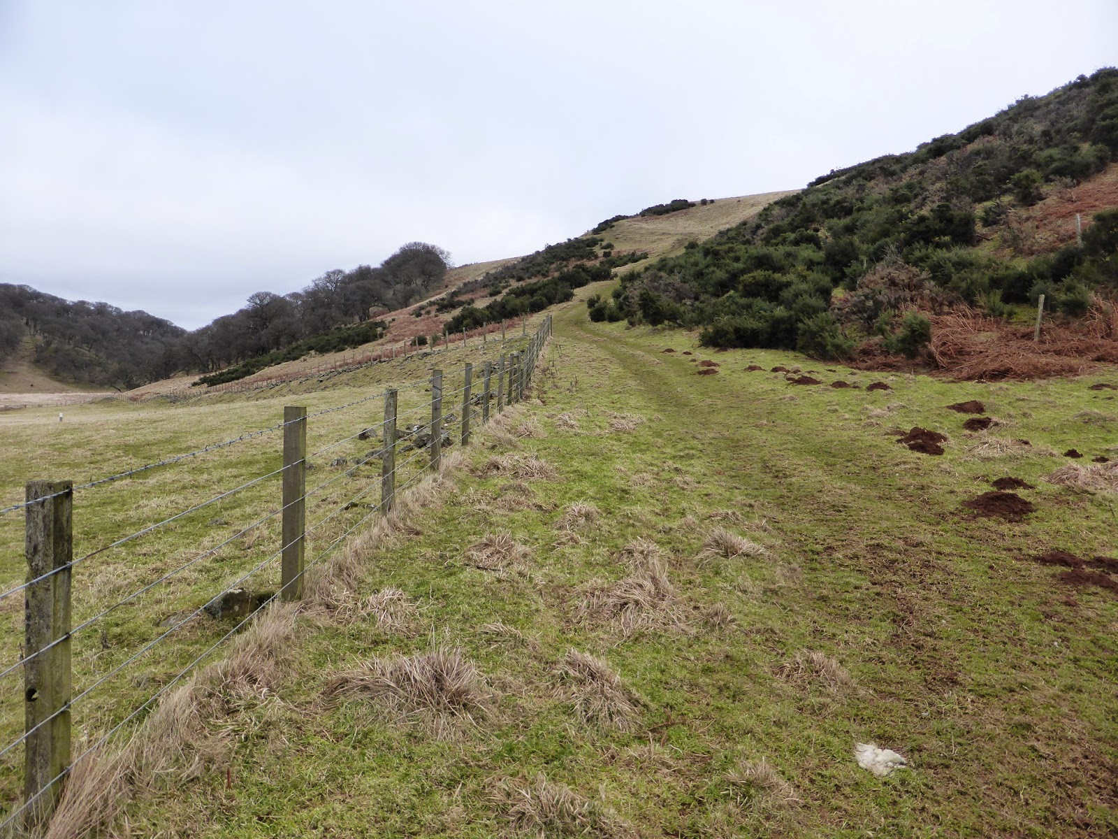
Through the forever damp woods of Finley How then a left turn onto the pylon road towards Weatherly, the road was covered with a slurry of mud as there were a lot of tipper lorries going back & forth with aggregates for the wind turbine roads & construction.


So the old map road went right through the centre of this field but there was no evidence of it ever existing here with all the years of ploughing, I knew where it was heading for so I rode along the tree line looking down into wooded glen of Weatherly as often you startle the resident wildlife.


Today the only wildlife I saw was the pheasant but more often than not you see deer, squirrels, foxes & I once saw a badger during daylight hours.
When we lived at Weatherly me, my kids & dog used to love gorge walking down there, getting soaking wet clambering over trees & climbing up waterfalls, it was brilliant fun & my girls now in their twenties still talk about the fun they had doing it.
Great times :-)
When we lived at Weatherly me, my kids & dog used to love gorge walking down there, getting soaking wet clambering over trees & climbing up waterfalls, it was brilliant fun & my girls now in their twenties still talk about the fun they had doing it.
Great times :-)


I did spot an old buzzards nest up in the trees.


Veering away from the tree lined dean I aimed for the bottom corner of the field to where the old road met up with the road from Woodhall farm. Upon arrival I immediately spotted along the fence line two railway sleeper fence posts where I guess was once a gate, so it would seem the road was still being used a good few years ago probably as far back as the early 1900's before mechanised farming ?


Once over the fence I was confronted by gnarly old oak trees within the Woodhall Dean nature reserve & I had to pause to do some landscape archeology to trace where the road went & it became quite obvious that it needed to turn right to get to the bottom of the hill, so bike over the shoulders I stumbled downwards to the burn.
This area on the map is called 'Tinkers Leap' I often wonder how these places get their unusual names, but I think this name speaks for it's self !
Once over the burn the road head uphill again.
This area on the map is called 'Tinkers Leap' I often wonder how these places get their unusual names, but I think this name speaks for it's self !
Once over the burn the road head uphill again.


Doing a bit of exploring down by the burn it brought back good memories of the gorge walking days we had & I will do it again with my younger girls if I'm still flexible enough.
The water here was crystal clear & tasted delicious.
The water here was crystal clear & tasted delicious.


From Woodhall Dean louping another fence into cattle country & another route choice of the old map right to a place called Hilldown which no longer exists or left towards the Halls & Hartside the way I'm heading for.


Keeping an ever vigilante eye out for coo's I proceeded onwards & came across this pond which will dry up in the summer months but for now it was covered in thick ice & was thick enough to support the weight of my bike quite surprising as it's been very mild this week.
A couple more interesting names the oak wood to the right is called Meikle Hag Wood & the hill to the left is called Birkie Brae.
A couple more interesting names the oak wood to the right is called Meikle Hag Wood & the hill to the left is called Birkie Brae.


Skirting around the edge of the pond an obvious road lay ahead & stopping at the little bridge which was a nice place to stop for a drink & bite to eat.
This would be an amazing wild camping spot in the summer months but I don't fancy inquisitive cows trampling me or my tent !
This would be an amazing wild camping spot in the summer months but I don't fancy inquisitive cows trampling me or my tent !


Hartside up ahead there was an East & West Hartside but only the West remains the East was right next to the road along here but again no evidence of it's remains were to be seen.
The 1799 map road stopped here at Hartside & turned right towards the Halls farm & beyond, but I wanted to continue past Hartside as on another old map there is a road leading to Deuchrie.


 Passing Hartside by & through umpteen gates at livestock holding pens, through a rocky area called 'The Knock' which looks as if it was at one time an old quarry possibly quarried for stone to build farm boundary walls & sheepfolds.

 The road here seemed to disappear for a bit with all the thick dead bracken.
 Once out into the open amazing views were to be seen & looking out to sea over to the Bass Rock, Fife & beyond I could see loads of snow on the mountains of what must be the Cairngorms :-/


 It was quite a struggle here with a wind in my face & very wet boggy grass which made for a tough battle but I remembered that there was a trig point across the valley on another hill so that was now my mission.


 Looking back the way I came with great views & Dunbar far back in the distance.


 With Deuchrie in sight, the derelict ruins of Lucknow cottage & isolated patches of snow here & there I needed to get off this hill & over to the trig.


 Over the edge I went on a nice fast track leading to the bottom with the grim climb to the trig ahead of me.


 Bike over the shoulders again & a calf burning climb up hill I was gutted as there was another hill to descend before the final big climb up to the summit of Deuchrie Dod hill & trig point.


 The reindeer tree...


The 1799 map road stopped here at Hartside & turned right towards the Halls farm & beyond, but I wanted to continue past Hartside as on another old map there is a road leading to Deuchrie.
Deuchrie Dod trig point conquered & another ticked off the list.
Outstanding views all around of the Lammermuir Hills, Traprain Law, North Berwick Law, Bass Rock, Dunbar & Blackcastle Hill.
I'll definitely need to come back here on a clear summers day to see the view from here at it's best.
About turning back the way I came.
Through the ancient Deuchrie oak wood which looked like the Ents from Lord of the rings.
...and Scooby Doo ghoul tree !
Out of the woods & into sheep grazing land & again back into the woods for a short distance.
Another slurry mud track kicking mud into my face but all great fun.
Along the field with Staneshal Wood & the Rottenraw burn to the left it was amazingly quiet & still, with only varied bird song for company & for the first time today pockets of warm sunshine managing to break through the grey cloud & it felt like it was springtime.
Even got a smell of the gorse bush flowers with the sun breaking through.
Back to reality & onto tar-mac again on the way home.
Second last big hill to climb for the day, Spott Loan, locally known as Starvation Brae & for a very good reason ! I normally have to stop once for a breather on this steep long killer climb of a hill but today my legs were giving up on me after traipsing up & down hills all day so I had to have a second breather.
From the Brunt steadings there were sun rays over the hills & down at the bottom of the Brunt a new bridge has been built & a bit more in-keeping, coloured brown rather than the previous bridge which was painted gloss white.
Could of done with the sun shinning for the whole trip rather than the end of the day but at least it would be warm & sunny washing my bike.
Back home in sunny Innerwick with a smile from lug to lug after a really enjoyable day finding old forgotten roads & managing to bag a trig point too, so a well deserved coffee after washing the bike I think.
Thanks for viewing & call back soon.
No comments:
Post a Comment