Week 2 of my holidays & I decided to go on a cross border cycle to 'Edin's Hall Broch' in the Scottish Borders taking in some amazing woodland, farmland & moorland scenery along the way, leaving Innerwick I followed the A1on the Sustrans route 76 cycle path to Cockburnspath then joining onto the Southern Upland Way route to Whiteburn before making my way to the ancient broch...

Leaving Innerwick sneaking along an off road field track to the derelict Crowhill farm towards the A1.


Route 76 Sustrans route to Cockburnspath.
The Sustrans is a government scheme working with local authorities to ensure that the people have access to a network of safe walking & cycling routes throughout the country, although I hate using this stretch of the route being so close to the A1, I would question how 'safe' this section is !


Crossing the Dunglass bridge & entering the Scottish Borders & the village of Cockburnspath.


The war memorial in Cockburnspath village.


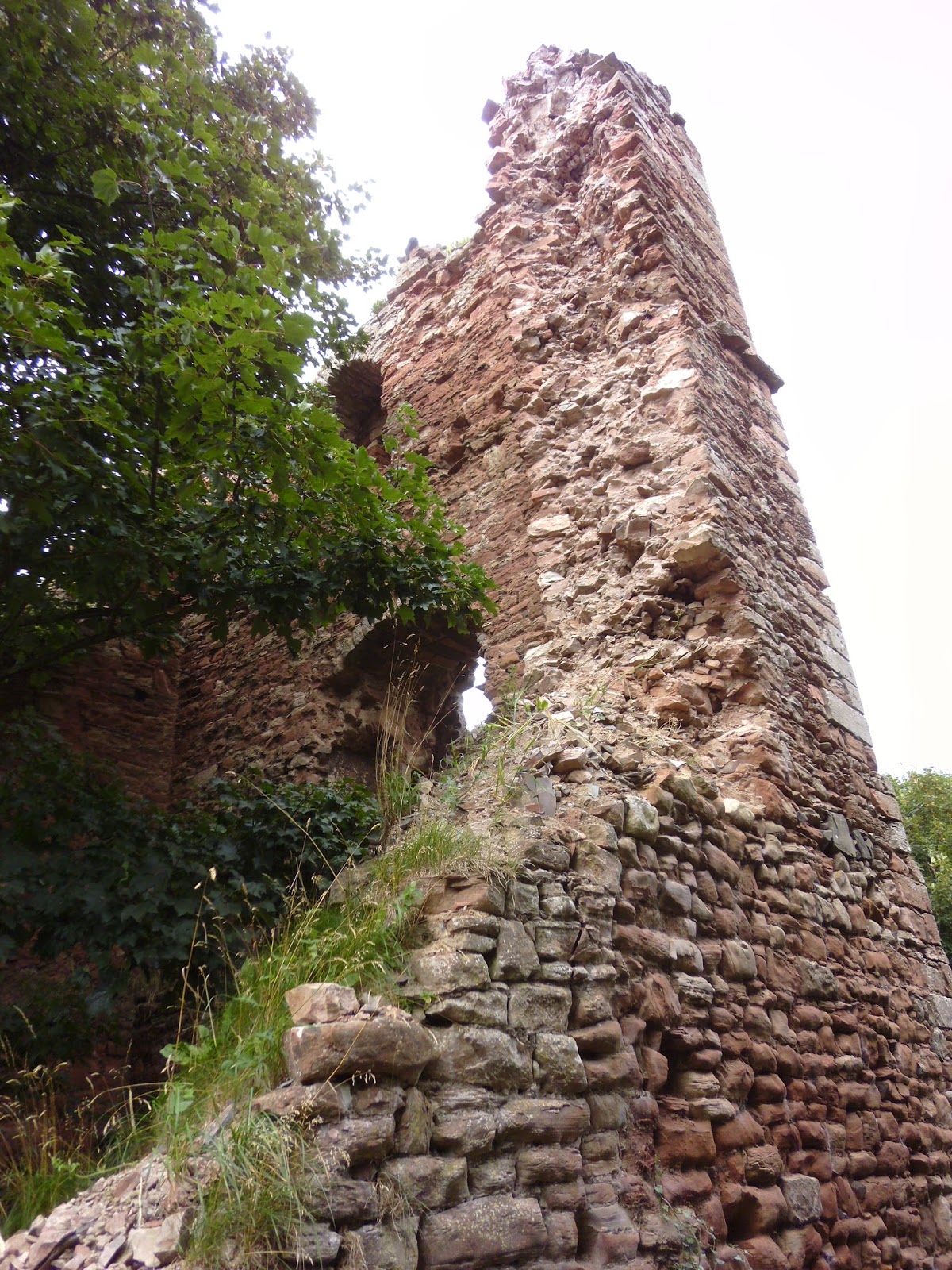
Cockburnspath tower stands on the edge of a ravine & belonged successively to the Earls of Dunbar, to members of the royal family, & to the Earls of Home.
The present castle ruin dates from the 15th/16th centuries, containing an oblong plan keep with two rectangular plan block houses. The larger building with storage vaults at basement level with a hall or barracks level above. While the smaller building almost a lean-to against the keep may have been a kitchen block with guard room.
It is claimed that the 'Red' Douglasses had 3,000 men stationed here in 1546 when feuding with the Homes over ownership of the Tower. This figure seems improbable since the castle site today is so small, but perhaps like so many other keeps of the period it was surrounded by a 'Barmkin' wall, with fortified ditch & an outer/adjoining 'castle-town' village, which would have been able to accommodate so many troops.

Penmanshiel Wood where I'm soon to be in the middle of.


Crossing the Pease Dean bridge & entering the abyss of the Penmanshiel woods.


A welcome clearing in the tree's for a fine view back towards home in East Lothian & some odd looking mushrooms.

This photo creeps me out ! When I uploaded the photo the colours are gone ! Only green showing up & seems to be purple at the top both left & right when photo is enlarged ! I never used any of the cameras filters or scene selection & these functions can't be moved by accident, but the really creepy thing that my wife pointed out, was what appears to be at the end of the path an adult figure looking down to a child figure...But as I said to the wife, 'They are tree's' ! Or are they ?


Crossing the Pease Burn & over the East Coast main rail line to finally get back into daylight after being in this light starved wood.

Greetings from Penmanshiel !


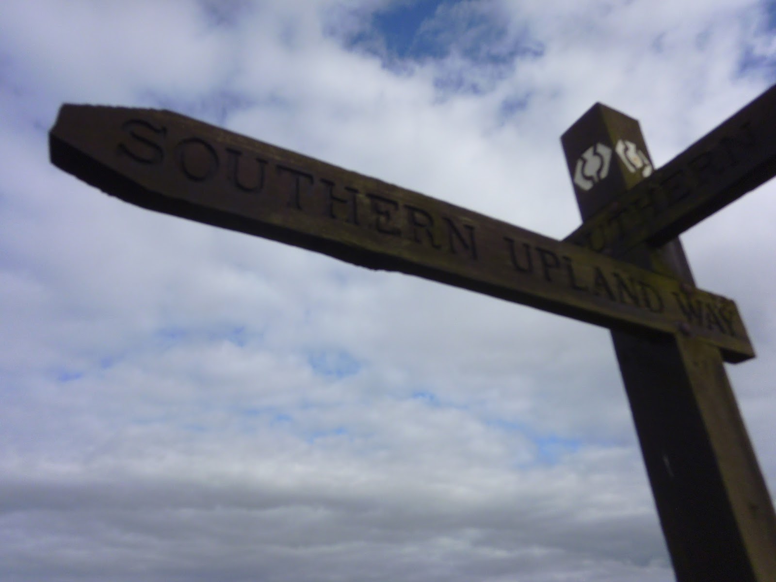

Following the Southern Upland Way through Blackburn to the road leading to Whiteburn.

Bet this took a bit of filing !


Views on route to the broch & nearly there.


For some reason I had this feeling that I was being watched !!


Someone's run down holiday chalet.


The Elba footbridge crossing the Whiteadder water, a prime salmon river here in the south east of Scotland.


An amazing sculpture of leaping salmon & bottom photo of a salmon fishing rowing boat, note the raised stool for the angler to fish from so he/she can cover more water with their cast.
.


 After leaving the broch I headed down a nice piece of downhill through the waist high ferns with the odd boulder to test your wits, en route to Abbey St Bathens.

 The locally known 'toot' corner, a blind bend in the road where people toot their car horns to make other motorists aware that they are there.


 Abbey St Bathens, a beautiful little hamlet situated in a heavily wooded valley with the Whiteadder river running through it.


 The communication hub of the community, I love these old style telephone & letter boxes.

 Crossing the Whiteadder river.


 Some nice views along the road towards Nether Monynut farm & the sun slowly going down.

 Cycling past the hill farms of Nether & Middle Monynut.


 The hue of purple heather high up in the moorland, with not so promising dark clouds starting to form & I've still a few miles ahead of me before I'm home.


 There's no getting away from these horrible pylons cutting through & scarring the landscape !


 Almost home now I can see the sea. A big bull wondering what I'm up to, if only I had my good camera to zoom right in to his head, as the sun was glistening on his nose ring, would of made a good picture.
 Back on the home side of the Border now & only a couple of miles to go before I can sit down with a big mug of coffee.

 Down hill, up a wee hill, down another hill, a long straight & I'm home.
I hope you enjoyed this post, thanks for looking, cheers for now.


Not very easy getting bike through a kissing gate with 5 foot walls either side.


Broch's are common in the north & west of Scotland, Edin's Hall Broch in Berwickshire is one of very few to be found in the Lowlands of Scotland. The site at Edin's Hall is the combination of a well preserved hill fort with a broch at it's west end.
The fort consists of a double rampart up to 4.5 metres in height in places & covering an oval area of around 135 metres by 75 metres.
The hill fort was there first apparently, then the broch was added in the late 1st century AD. The restored broch survives to a height of nearly 2 metres in places, which is more than enough to give an impression of the structure when fully intact. The overall diameter of the broch is around 27 metres which is very large for one of these sites & considerably larger than found in northern examples.
The broch's visible features include an entrance passage with door-checks, guard chambers off the entrance passage, traces of flagstone flooring in the central compound & surviving intramural chambers. One of the intramural chambers features the base of a surviving stone staircase giving access to upper, presumably wooden platforms.


I hope you enjoyed this post, thanks for looking, cheers for now.
No comments:
Post a Comment