I have just discovered a brilliant pastime which incorporates a treasure hunt that I can do on the bike, it's called 'Geocaching'. Geocaching is an activity in which participants use a GPS receiver or mobile device & other navigational techniques to hide & seek containers called 'geocaches' or 'caches' anywhere in the world.
A typical cache is a small waterproof container containing a log book where the geocacher enters the date they found it & signs it with their established name. After signing into the log, the cache must then be placed back exactly where & how the person found it.
The Geocaching web site provides a map of where the cache's are located world wide & it is then up to you to locate them.
The website is...http://www.geocaching.com go on give it a go, anyway time for the photos of the trip. I have had to buy a cheap camera while my good camera gets repaired after it's bashing at Glentress so photos may not appear of the greatest quality !


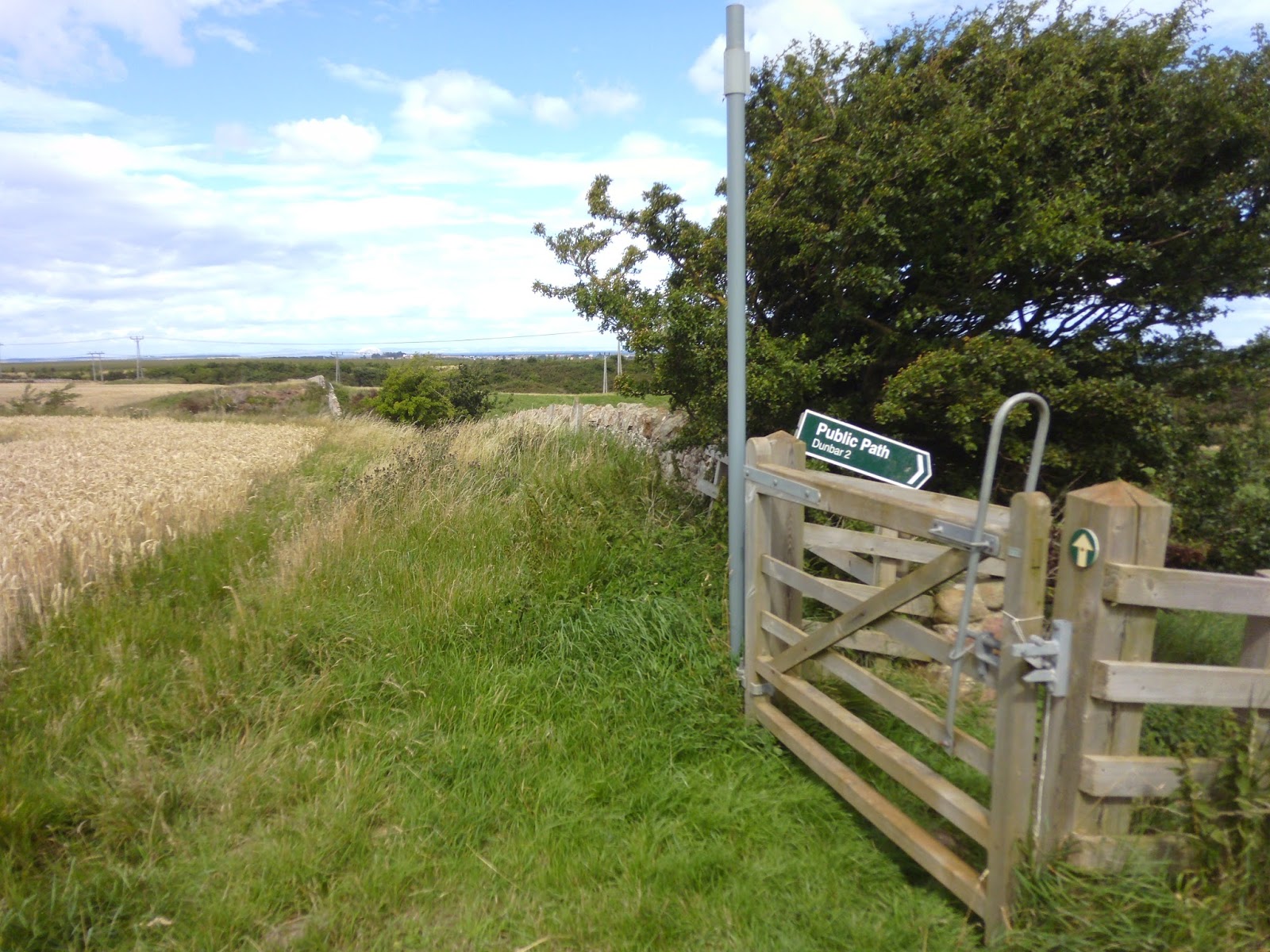
Leaving Innerwick via the field side footpath looking forward to the days treasure hunt.


Without giving away the locations, these are some of the containers that the logs are hidden in some very small & magnetic others more unusual !

A rustic old countryside post box, still in use.


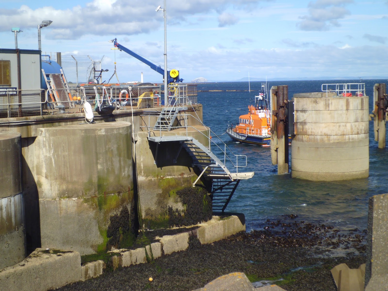


Some views around Torness power station where the Dunbar lifeboat is moored.


As I have mentioned in previous posts the geology along the coastline here is amazing & here is another example a massive coal seam about 18" wide & goes on into the rock, if only I still had a coal fire !


Tide out at Skateraw.


The St. Giles boy's club memorial was erected in the memory of six members of the boy's club who loved to camp here in their youth, but were sadly killed during WWII.


A short trip along the work commute route before turning off into a field track towards Barns Ness.


(Top) LaFarge cements quarry earth moving conveyor at one time the biggest in Europe.
(Bottom) Considerate East Lothian Council's public toilets at Whitesands beach it even has bike racks to lock your bike up !


Monument of the battle of Dunbar & also the location for a geocache find.

Cutting across the busy A1 & up the hill onto this what was the old road to Little Pinkerton.


Some views of golden fields & green hedgerows with heavy looking rain clouds building up for a down pour.

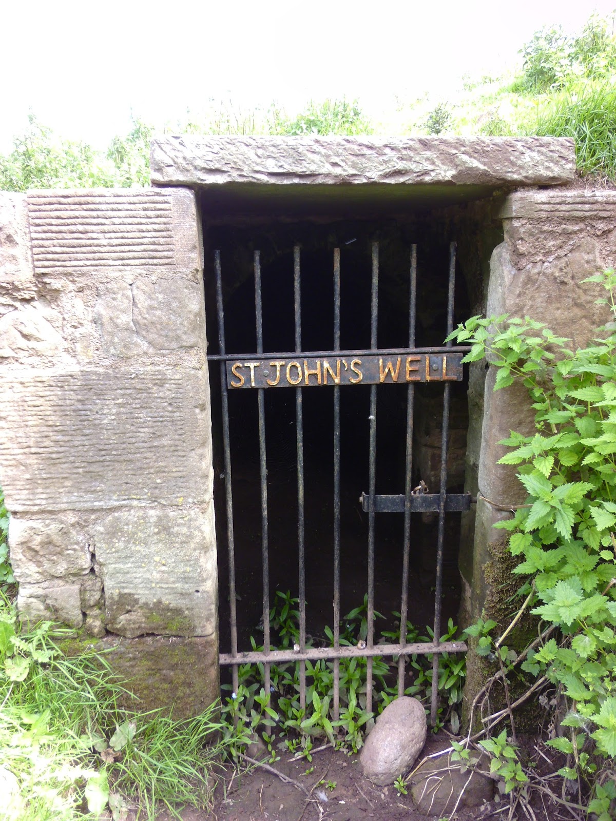


St. Johns well, about 100 metres below Spott church lies a fine old holy well dedicated to St.John. It is believed that the well was used by the Knights Templar who owned the site now known as Templelands in Dunbar during the 13th century & there is a local tradition that the monks of Coldingham priory made an annual pilgrimage to the well. Today the well is an impressive structure mainly underground & out of sight until you are almost on top of it, as you can see by the bottom photo the well is 'pardon the pun' well hidden just behind the telegraph pole in the green bushy area. I have lived around here & was even married in Spott church & I was totally unaware hat this existed !

Chainsaw carving of an eagle in someone's garden.


After a heavy downpour of rain the sun shines again on the golden fields & I'm off for another geocache hunt location.


The Brunt Loch in it's full summer glory.

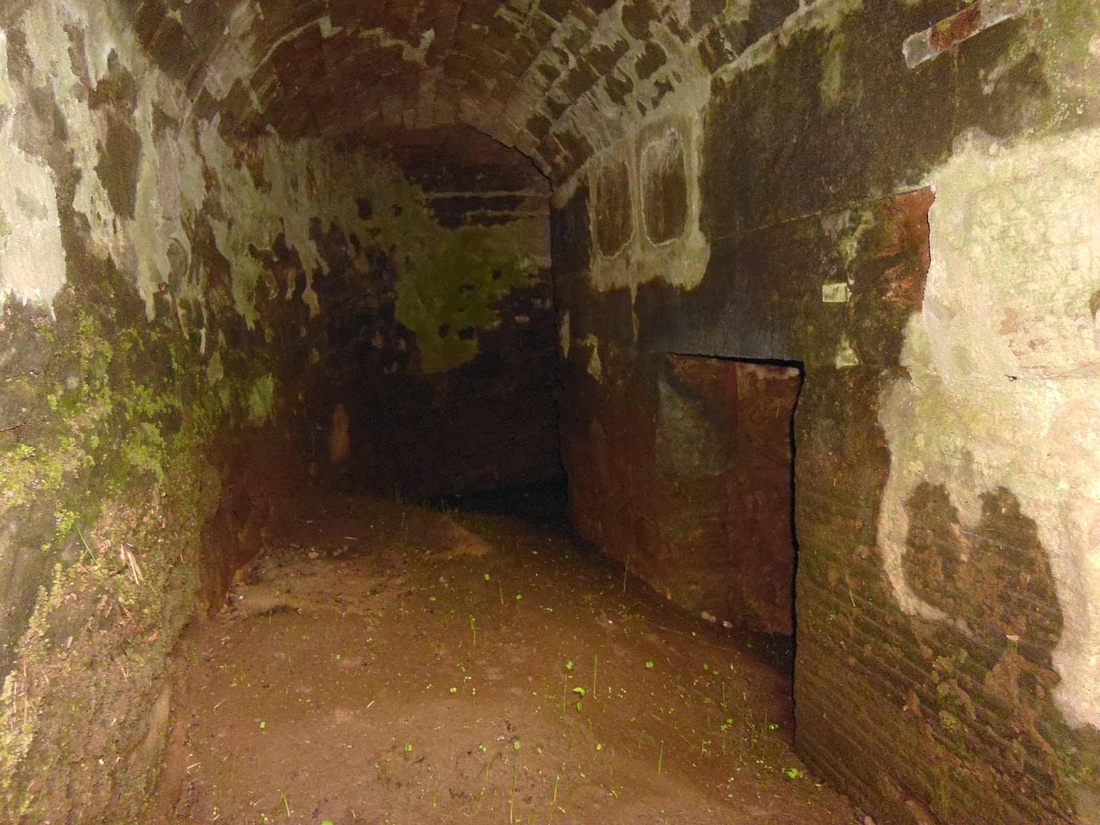
A harbour up in the hills ???


Kona in the grass.

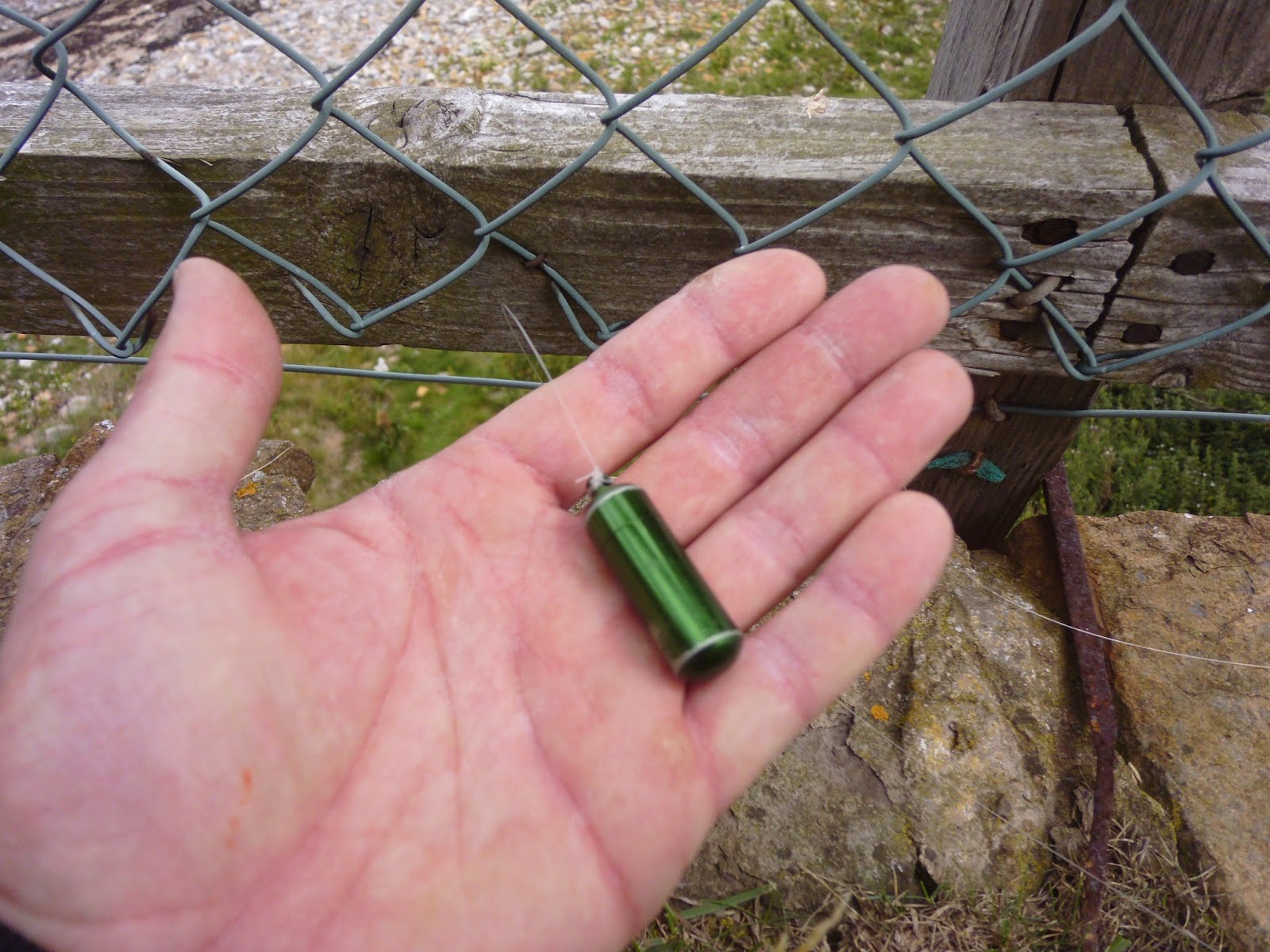
Last cache of the day on the way home & a very successful day it was, hunting & finding 12 out of 15, this one well hidden by a piece of fishing gut secured to a piece of barbed wire fence dangling inside a rotten tree ! Brilliant days hunting, hope you enjoyed the blog & have caught the geocache bug ! Thanks all for looking until next time happy biking or hunting :-)
No comments:
Post a Comment